Places to go
The towns and villages of the Cotswolds, each with its own guide: what to see, where to stay and eat, the walks and how to get there.
 Des Blenkinsopp, CC BY-SA 2.0, via Wikimedia Commons
Cirencester and the Coln Valley
Cirencester, the Roman town of Corinium, and the River Coln running past Bibury, Coln St Aldwyns and Fairford to meet the Thames by Lechlade.
See all
-
Ablington
Hamlet · Cirencester and the Coln Valley
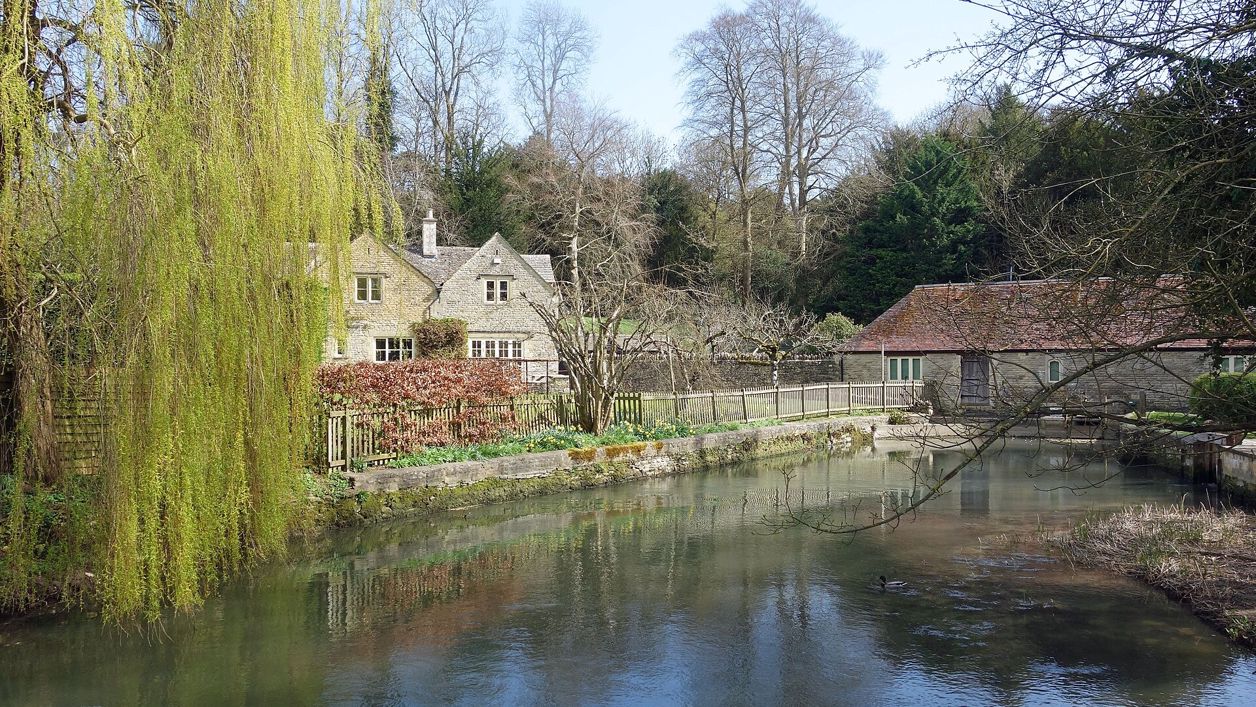
A hamlet of Bibury parish a mile up the River Coln from Arlington Row, with the Elizabethan manor where J. Arthur Gibbs wrote A Cotswold Village, a small green and no shop, pub or coach. Walk here from Bibury.
-
Ampney Crucis
Village · Cirencester and the Coln Valley
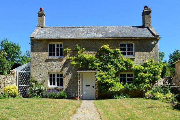
A village on the Ampney Brook 4 miles east of Cirencester, with Holy Rood church, its Grade I medieval churchyard cross and its wall paintings, an old coaching inn by the water and two smaller Ampneys a mile or so away.
-
Barnsley
Village · Cirencester and the Coln Valley
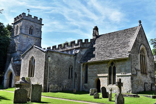
An estate village of one street on the Cirencester to Bibury road, with Rosemary Verey's garden behind the wall of Barnsley House, a Norman church and a pub with rooms. Four miles from Cirencester, and quiet.
-
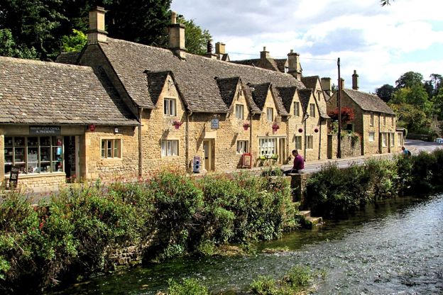
Bibury
Village · Cirencester and the Coln Valley
A village on the River Coln with a row of medieval cottages that draws up to 20,000 visitors on a peak weekend, by press estimates. Come early or late, and walk on down the river.
-
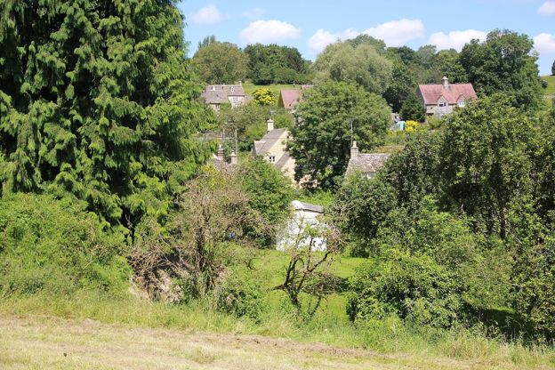
Chedworth
Village · Cirencester and the Coln Valley
A long village down both sides of a steep valley between Cirencester and Northleach, with a Grade I church, a seventeenth-century inn below it, 800 acres of woods with a disused railway through them, and the Roman villa a mile away through the trees.
-
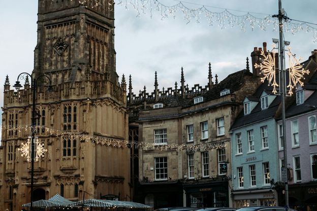
Cirencester
Market town · Cirencester and the Coln Valley
The Roman town of Corinium and the market town of the southern Cotswolds, with a museum of its mosaics, a great wool church, an amphitheatre and Earl Bathurst's park.
-
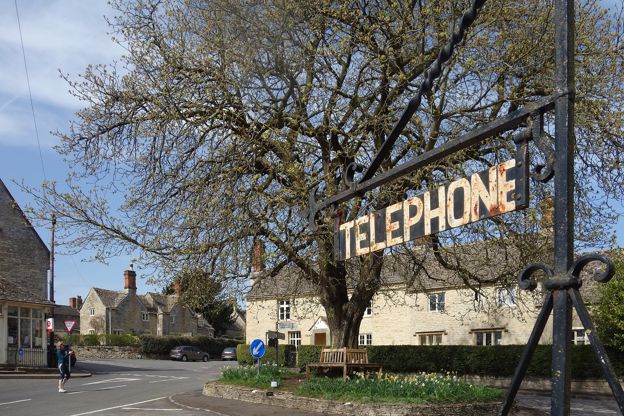
Coln St Aldwyns
Village · Cirencester and the Coln Valley
Two villages facing each other across the River Coln a few miles below Bibury, with a Norman church, a Knights Hospitaller gateway and a pub, and few visitors.
-
Eastleach and Southrop
Village · Cirencester and the Coln Valley
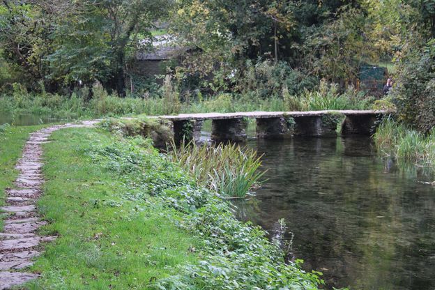
Two villages on the River Leach east of the Coln: Eastleach, where two Norman churches face each other across a clapper bridge, and Southrop, a mile and a half downstream, with the Swan and Thyme. Daffodils in spring, hardly a visitor in any season.
-
Fairford
Market town · Cirencester and the Coln Valley
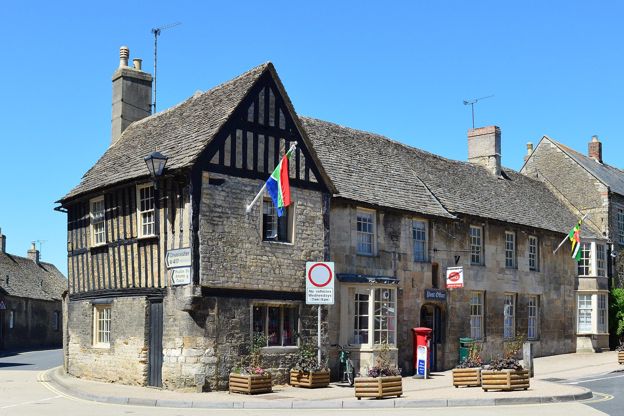
A small town on the River Coln with the only complete set of late medieval glass in an English parish church, and the home of the Royal International Air Tattoo.
-
Kemble
Village · Cirencester and the Coln Valley
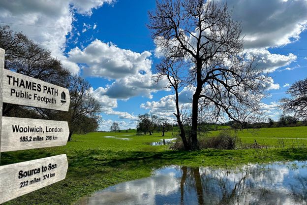
The village with the station for Cirencester and the south Cotswolds, about a mile and a half from the source of the Thames where the Thames Path begins, with a church spire of 1824, the old RAF airfield and the Thames Head Inn on the A433.
-
Lechlade-on-Thames
Market town · Cirencester and the Coln Valley
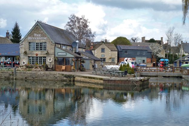
The town where the Thames becomes navigable, with the highest lock on the river, a toll bridge and Father Thames, and William Morris's Kelmscott Manor 3 miles away.
-
Quenington
Village · Cirencester and the Coln Valley
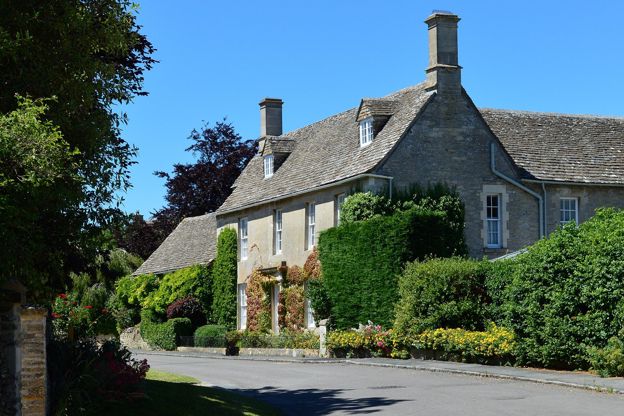
A village of about 600 people on the River Coln between Bibury and Fairford, with two of the finest Norman doorways in the Cotswolds, the gatehouse of a Knights Hospitallers' preceptory, a green, a free house with rooms and a river walk to Fairford.
-
South Cerney
Village · Cirencester and the Coln Valley
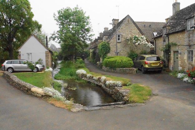
A large village on the River Churn south of Cirencester, with a Norman church that once hid a twelfth-century crucifix, the infilled locks of the Thames and Severn Canal and the Cotswold Lakes at the end of the street.
-
The Cotswold Water Park
Countryside · Cirencester and the Coln Valley
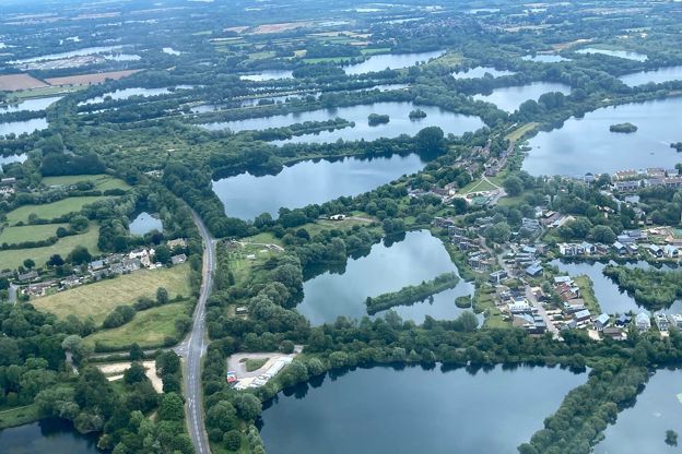
Flooded gravel pits south of Cirencester, now called the Cotswold Lakes: more than 170 lakes on Natural England's count across the Gloucestershire and Wiltshire border, with bird hides, booked open-water swims, the Thames Path and an old railway to cycle.
-
The Duntisbournes
Village · Cirencester and the Coln Valley
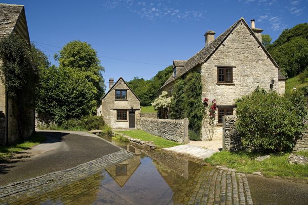
Four hamlets along 2 miles of the Dunt, a brook north-west of Cirencester: Duntisbourne Abbots on its hill, Duntisbourne Leer where the lane fords the stream, Middle Duntisbourne and Duntisbourne Rouse, whose tiny church has a crypt and misericords. No pub, no shop, no visitors.
-
Withington
Village · Cirencester and the Coln Valley
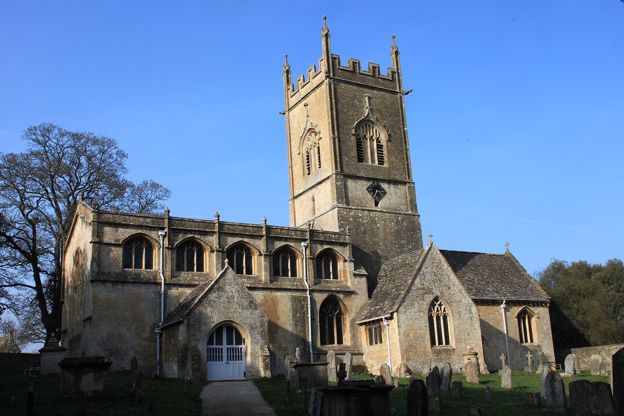
A village in two halves either side of the upper Coln, about 6.5 miles from Cheltenham, with a Grade I church, the Mill Inn by the bridge, Withington Woods above and a Roman villa under a field on the road to Chedworth.
 Philip Pankhurst, CC BY-SA 2.0, via Wikimedia Commons
Stroud and the Five Valleys
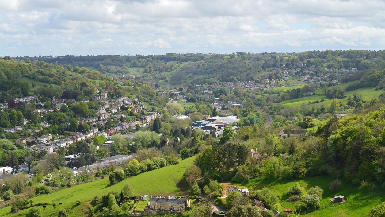
The steep valleys that meet at Stroud: old cloth-mill country, with Painswick's churchyard of yews, Nailsworth's mills and the commons above Minchinhampton.
See all
-
Amberley
Village · Stroud and the Five Valleys
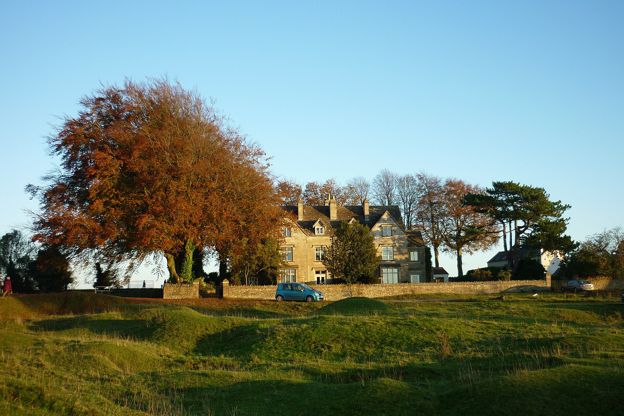
A village of cottages on the western edge of Minchinhampton Common, looking down over the Nailsworth valley, with the Black Horse and the Amberley Inn, a community shop and café at the church, and the common's cattle at the door.
-
Bisley
Village · Stroud and the Five Valleys
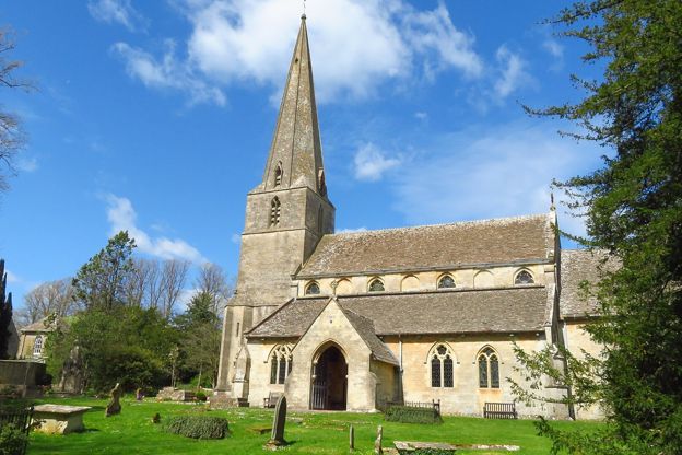
A high stone village east of Stroud with a row of wells dressed with flowers every Ascension Day, a two-cell lock-up of 1824, and a pub in the old courthouse with a colonnade along its front.
-
Chalford
Village · Stroud and the Five Valleys
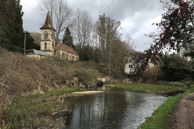
The hillside village of the Golden Valley east of Stroud, its cottages stacked above the Thames and Severn Canal, with the Lavender Bakehouse on the valley road, a round canal house of 1790 and a web of steep paths that donkeys once carried the shopping up.
-
Minchinhampton
Market town · Stroud and the Five Valleys
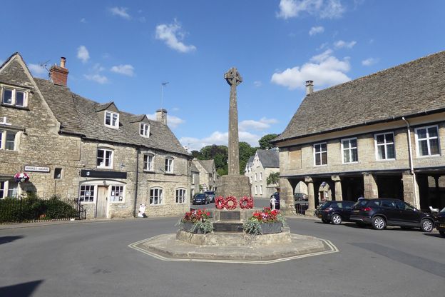
A small hilltop town above Stroud with a Market House of 1698, a church with a crown instead of a spire, and a great open common owned by the National Trust, where grazing cattle wander across the roads.
-
Miserden
Village · Stroud and the Five Valleys
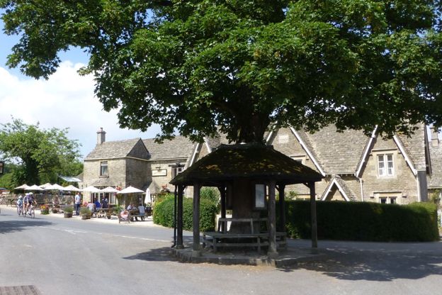
An estate village on the high ground above the Frome valley, 4 miles north-east of Stroud, rebuilt in the 1860s round Miserden Park and its seventeenth-century garden, with a church of Saxon origin, a Norman castle mound and walks through the estate's woods.
-
Nailsworth
Market town · Stroud and the Five Valleys
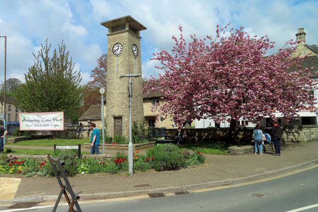
A small valley town 4 miles south of Stroud with old cloth mills, independent shops and some of the best food in the Cotswolds, a 1952 clock tower, a level railway path to Stroud and the commons on the hill above.
-
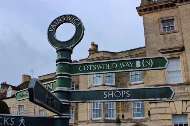
Painswick
Market town · Stroud and the Five Valleys
A former cloth town above the Stroud valleys, with a churchyard of clipped yews and carved tombs, a church clipping every September, and the Rococo Garden.
-
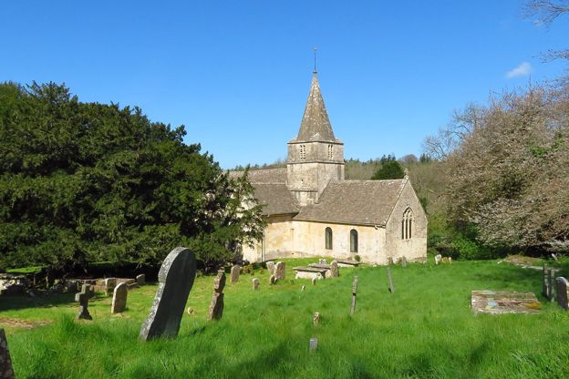
Sapperton and Frampton Mansell
Village · Stroud and the Five Valleys
Two villages on the lip of the Frome valley where the Thames and Severn Canal went underground: the Gothic tunnel portal at Daneway, the Daneway Inn beside the old canal, the church where Gimson and the Barnsleys are buried, and the Crown at Frampton Mansell.
-
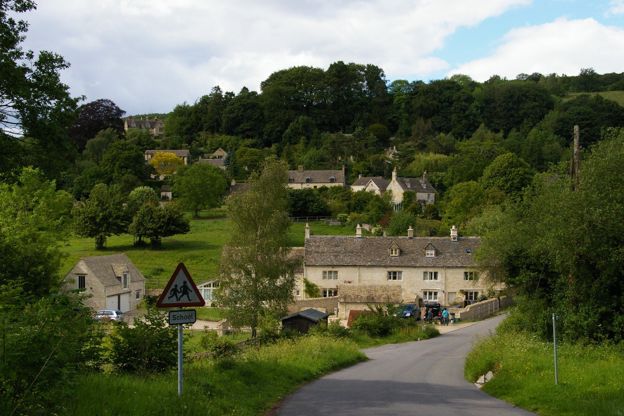
Sheepscombe
Village · Stroud and the Five Valleys
A former weaving village in a steep side valley above Painswick, with the Butchers Arms on the hillside, the cricket ground Laurie Lee bought on the top, and the beechwoods of the Cotswold Commons and Beechwoods reserve behind.
-
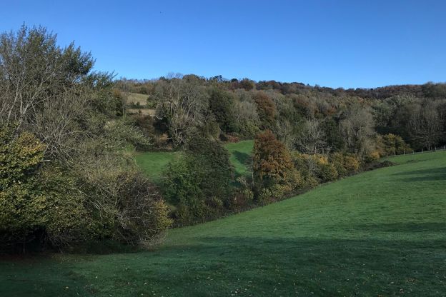
Slad
Village · Stroud and the Five Valleys
The village Laurie Lee wrote about in Cider with Rosie, 2 miles up the valley from Stroud: his grave by the church, the Woolpack across the road, and four wildlife reserves on the slopes around it.
-
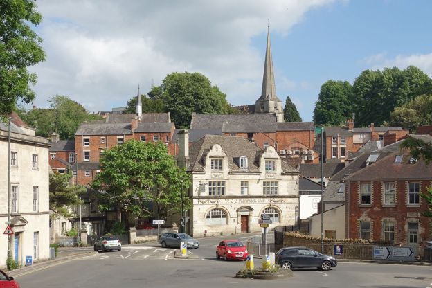
Stroud
Market town · Stroud and the Five Valleys
The cloth town where five valleys meet, with a Saturday farmers' market, a free museum in Stratford Park, a canal coming back to life and Laurie Lee's Slad next door.
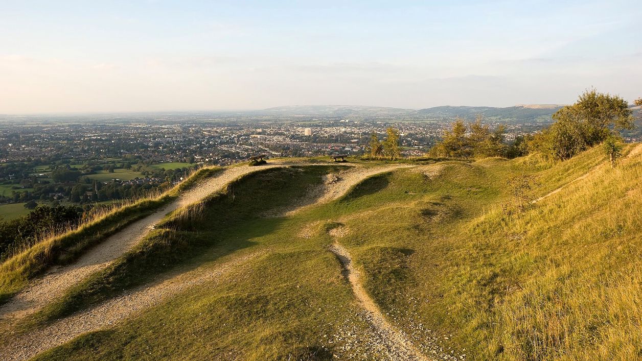 Chris Gorringe, CC BY-SA 2.0, via Wikimedia Commons
The Cotswold Edge
The western escarpment, where the wolds end in a wooded edge above the Severn vale: Winchcombe and Sudeley, Belas Knap, Cleeve Hill and the Cotswold Way along the top.
See all
-
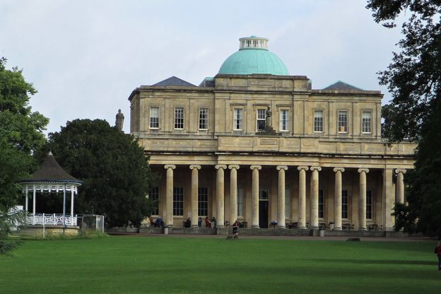
Cheltenham
Gateway · The Cotswold Edge
The Regency town under the escarpment and the best bus gateway to the Cotswolds: the 801 to Bourton and Stow every day, the 606 to Winchcombe, the X52 to Burford, Cleeve Hill and Leckhampton above the rooftops, and a racecourse that fills every bed in March.
-
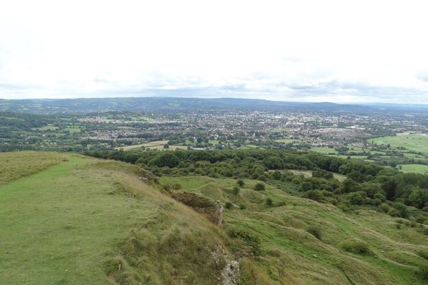
Cleeve Hill
Village · The Cotswold Edge
The village on the B4632 under Cleeve Common, between Cheltenham and Winchcombe: two hotels, a golf club on the common and the highest ground in the Cotswolds above, where one Cotswold Way stage ends and the next begins.
-
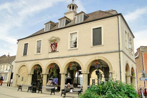
Dursley
Market town · The Cotswold Edge
A small working town in a wooded valley below the escarpment, halfway between Gloucester and Bristol, where the Cotswold Way passes a market house of 1738. Free car parks, a heritage centre, Stinchcombe Hill above, and a railway station 2 miles out.
-
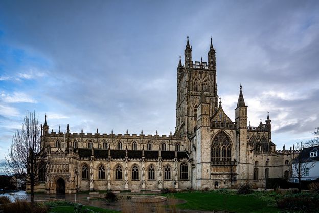
Gloucester
Gateway · The Cotswold Edge
The cathedral city on the Severn below the Cotswold edge: fan-vaulted cloisters that stood in for Hogwarts, Victorian docks, a mainline station, the 63 bus to Stroud and the hills at Painswick Beacon and Cooper's Hill a few miles up the road.
-
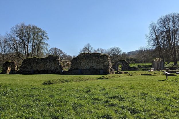
Hailes and Didbrook
Village · The Cotswold Edge
Two hamlets under the escarpment north-east of Winchcombe: the ruins of Hailes Abbey, a painted twelfth-century church across the lane, a fruit farm with a café, a halt on the steam railway, and the Cotswold Way climbing to Beckbury Camp.
-
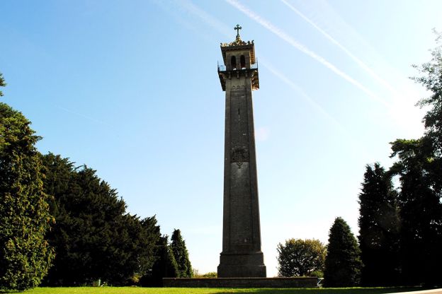
Hawkesbury Upton
Village · The Cotswold Edge
A village on top of the southern Cotswold edge where two stages of the Cotswold Way meet, with the Somerset Monument of 1846 on the lane north, an old drovers' pond, a pub said to date from 1602 and Horton Court 3 miles south.
-
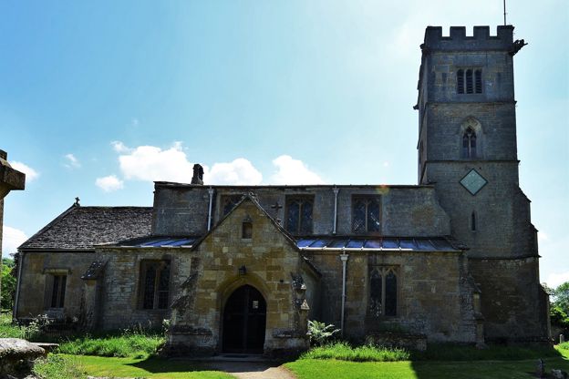
Laverton and Buckland
Village · The Cotswold Edge
Two hamlets at the foot of the escarpment 2 miles south of Broadway: Buckland, with a Grade I church full of old woodwork, a fifteenth-century rectory and a manor that is now a hotel, and Laverton's stone farmhouses. The Cotswold Way runs above.
-
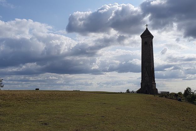
North Nibley
Village · The Cotswold Edge
The village under the Tyndale Monument, between Wotton-under-Edge and Dursley on the Cotswold Way: a tower you can climb for free, a church on a hill with a tower of 1632, a Grade II inn and the field where the last private battle in England was fought in 1470.
-
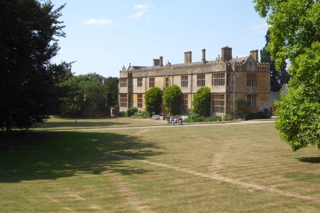
Stanway
Village · The Cotswold Edge
An estate village at the foot of the escarpment between Stanton and Winchcombe, with a Jacobean manor that opens two afternoons a week in summer, a fountain about 92m high, a fourteenth-century tithe barn and a thatched cricket pavilion on staddle stones.
-
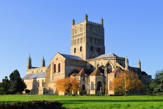
Tewkesbury
Gateway · The Cotswold Edge
The abbey town where the Avon meets the Severn, 8 miles from Winchcombe: the largest Norman tower in England, the battlefield of 1471 and its medieval festival each July, Ashchurch station and the 40 bus, the 42 to Cheltenham, and the Cotswold edge at Bredon Hill and Cleeve.
-
Uley
Village · The Cotswold Edge
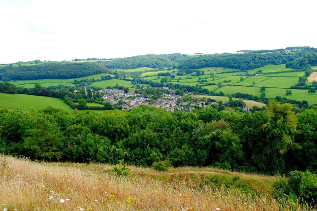
A former cloth village in a wooded valley below the escarpment between Dursley and Stroud, with an Iron Age hillfort on the hill above, a Neolithic long barrow you can crawl into, a brewery founded in 1833 and an old coaching inn on the green.
-
Winchcombe
Market town · The Cotswold Edge
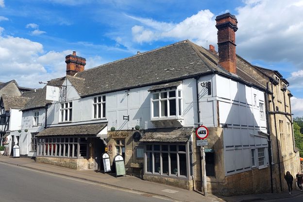
A walkers' town below the escarpment, with Sudeley Castle and Katherine Parr's tomb, the ruins of Hailes Abbey, Belas Knap on the hill and a steam railway.
-
Wotton-under-Edge
Market town · The Cotswold Edge
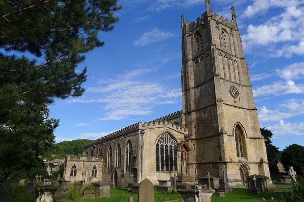
A small cloth town tucked under the escarpment on the Cotswold Way, with almshouses, a Grade I church, council car parks with no published charge and the Tyndale Monument on the hill.
 martin fenton on Unsplash
The North Cotswolds
The high wolds between Chipping Campden and Bourton-on-the-Water: the Fosse Way towns, the Windrush villages, the Slaughters and the escarpment at Broadway.
See all
-
Adlestrop
Hamlet · The North Cotswolds
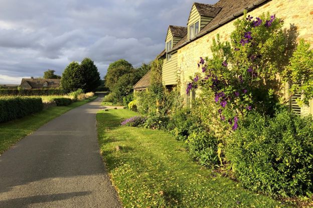
The hamlet where Edward Thomas's train stopped in June 1914. The station has gone, but its sign and bench hang in the bus shelter, the rectory where Jane Austen visited her relations stands by the church, and the Evenlode valley walk starts from the hall.
-
Aston Magna
Hamlet · The North Cotswolds
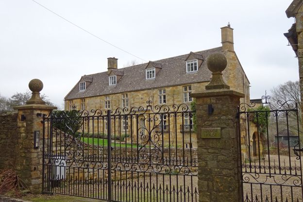
A hamlet in Blockley parish north of Moreton-in-Marsh, cut in two by the Cotswold Line, with a twelfth-century chapel turned cottage, a church of 1846 now a private house, and a Roman small town in the fields towards Moreton.
-
Blockley
Village · The North Cotswolds
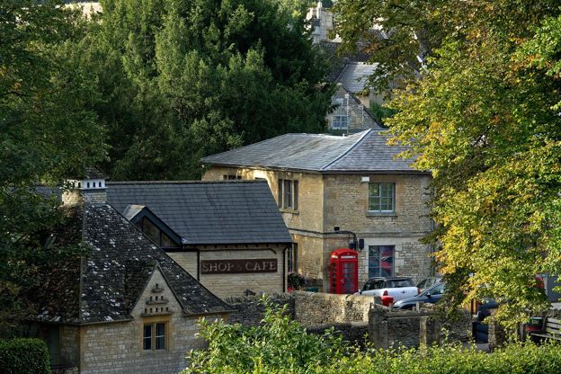
A village of former silk mills along a brook in a steep valley near Moreton-in-Marsh, with a Norman chancel in its church, a spring under a raised pavement, two short walks from its lanes and Father Brown's Kembleford on screen.
-
Bourton-on-the-Hill
Village · The North Cotswolds
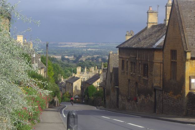
The village that climbs the A44 west of Moreton-in-Marsh, with a Grade I church open every day, Bourton House Garden and its tithe barn of 1570, the Horse and Groom, and Sezincote and Batsford at the foot of the hill.
-
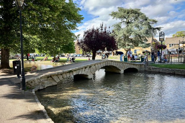
Bourton-on-the-Water
Village · The North Cotswolds
The River Windrush runs shallow through the middle of the village under a run of low stone bridges. The county council puts visitors at around 10,000 a day at peak times, so arrive before ten.
-
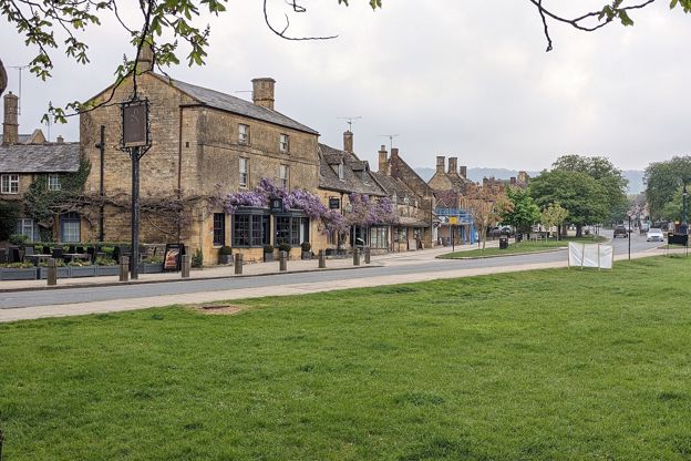
Broadway
Market town · The North Cotswolds
A Worcestershire village below the escarpment, an old coaching stop with a long High Street, two museums, an artists' history and Broadway Tower on the hill.
-
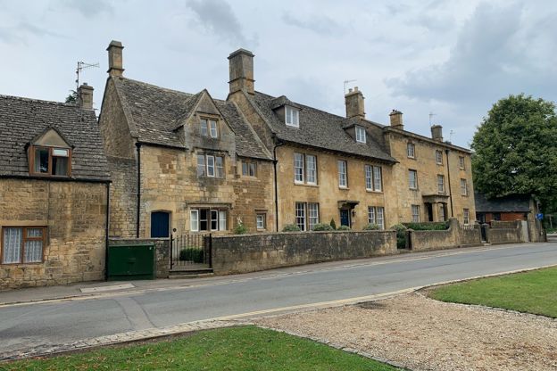
Chipping Campden
Market town · The North Cotswolds
A wool town with a High Street of honey stone, a 1627 Market Hall, a great wool church and almshouses, and the start of the Cotswold Way on its doorstep.
-
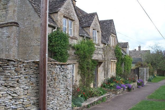
Cold Aston
Village · The North Cotswolds
A village round a green on the high wold 3 miles west of Bourton-on-the-Water, also called Aston Blank, with a Grade I Norman church, a restored seventeenth-century inn with four rooms, and paths west to Notgrove and down to the Windrush.
-
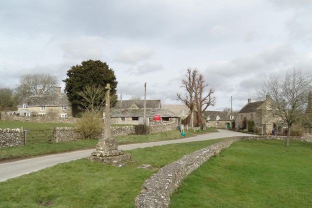
Condicote
Hamlet · The North Cotswolds
A hamlet round a green on the high wold north-west of Stow, with a twelfth-century church, a medieval cross over a spring, a Roman road for its western lane and a henge in the fields.
-
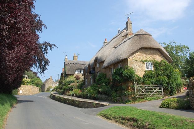
Ebrington
Village · The North Cotswolds
A village of thatched and stone-slated cottages on the slope east of Chipping Campden, with a Grade I church full of Fortescue and Keyt monuments, Hidcote inside its parish boundary, and the Ebrington Arms at its centre.
-
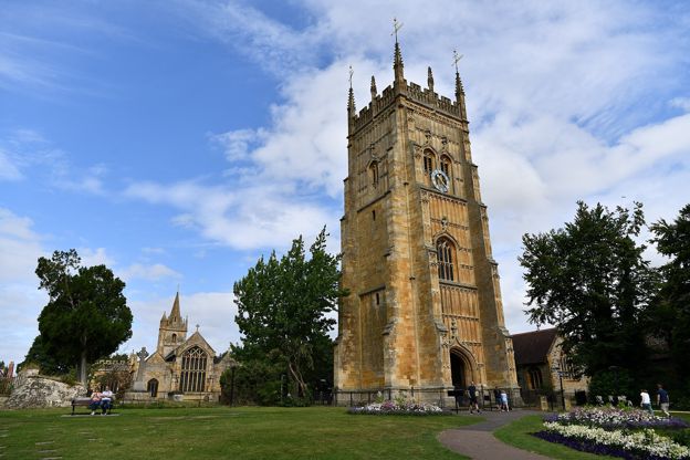
Evesham
Gateway · The North Cotswolds
The market town of the vale, 7 miles below Broadway: the Cotswold Line station with free parking, the R4 bus up Fish Hill to Broadway on weekdays, the abbey's bell tower by the Avon, asparagus from St George's Day to Midsummer, and the Cotswold edge at Broadway and Willersey.
-
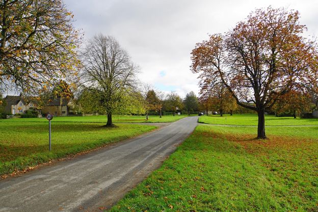
Great, Little and Wyck Rissington
Village · The North Cotswolds
Three villages on the slope east of Bourton-on-the-Water: Wyck with its green, pond and the church where Holst was organist, Little with the RAF graves of a lost airfield, and Great with the Lamb Inn and the Souls brothers' memorial.
-
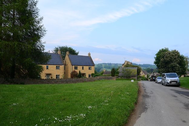
Guiting Power
Village · The North Cotswolds
A small stone village round a green on the Wardens' Way and the Windrush Way, a few miles from Adam Henson's Cotswold Farm Park, with a twelfth-century church.
-
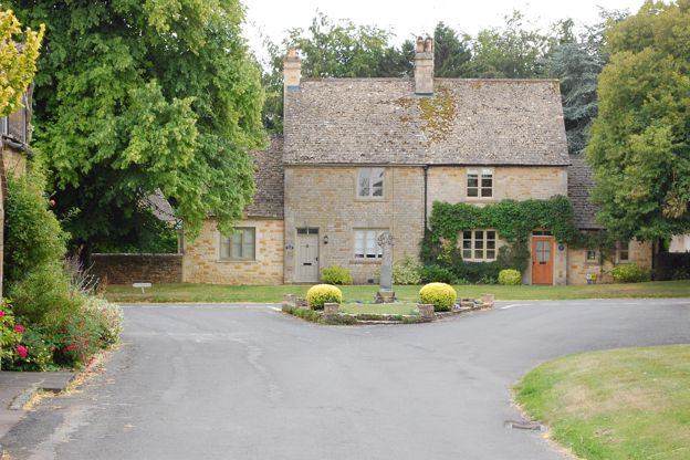
Icomb
Hamlet · The North Cotswolds
A grey stone hamlet on the slope of Icomb Hill south-east of Stow, above the Evenlode valley, with a thirteenth-century church holding Sir John Blaket's armoured effigy and the fifteenth-century manor house he probably built.
-
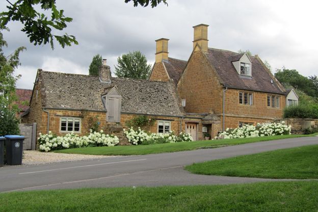
Ilmington
Village · The North Cotswolds
A Warwickshire village of ironstone houses under the Ilmington Downs, at the northern tip of the Cotswolds, with eleven carved mice in its Norman church, a morris tradition going back centuries and two pubs on its greens.
-
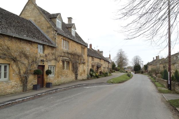
Longborough
Village · The North Cotswolds
A hillside village above the Evenlode valley between Stow and Moreton, with a 500-seat opera house in a garden, a Grade I church of knights and Cockerells, a Donnington pub on the green and a community shop.
-
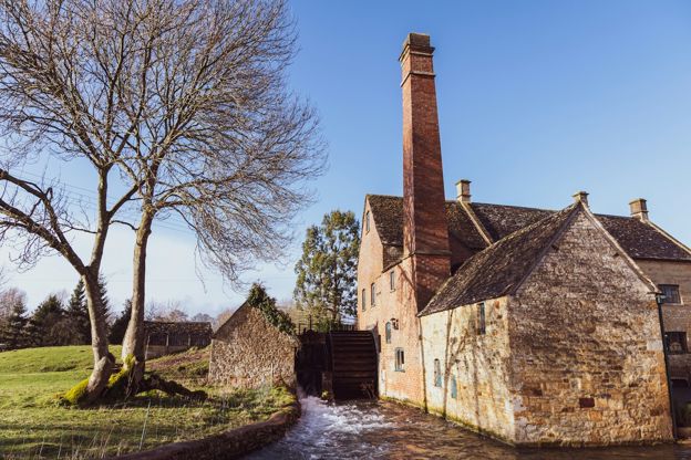
Lower Slaughter
Village · The North Cotswolds
A small village along the River Eye, crossed by low stone footbridges, with a red brick watermill at its western end and a field path to Upper Slaughter.
-
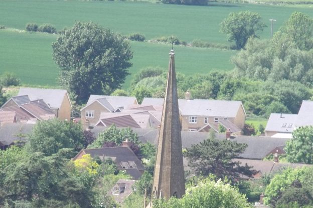
Mickleton
Village · The North Cotswolds
The big village at the foot of the Cotswold edge, 3 miles north of Chipping Campden, with Hidcote and Kiftsgate on the hill above it, a Grade I church and the home of the Pudding Club.
-
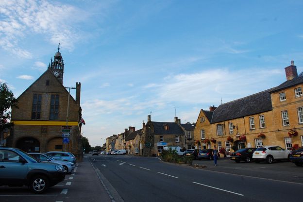
Moreton-in-Marsh
Market town · The North Cotswolds
A market town on the Fosse Way with a station on the line from London, so the easiest place to start a car-free Cotswold trip, with Batsford Arboretum close by.
-
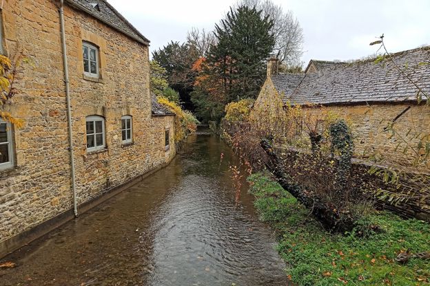
Naunton
Village · The North Cotswolds
A long, quiet village on the floor of the upper Windrush valley, with a sixteenth-century dovecote by the river, a Donnington pub and the Windrush Way on the hill above.
-
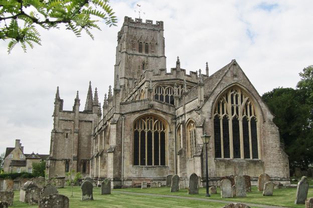
Northleach
Market town · The North Cotswolds
A small wool town in the Leach valley with one of the great Cotswold wool churches, its floor full of brasses to the merchants who paid for it, and a Georgian prison.
-
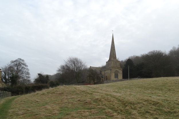
Saintbury
Hamlet · The North Cotswolds
A hamlet on the scarp slope between Broadway and Chipping Campden, with a Grade I church under a broach spire, a medieval cross by the main road and the Cotswold Way on the hill above. Robert Dover of the Olimpicks lived here.
-
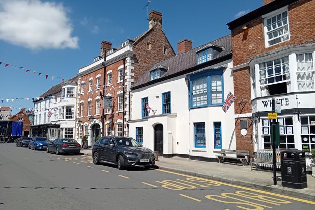
Shipston-on-Stour
Market town · The North Cotswolds
A small Warwickshire market town on the Stour, named after a sheep wash, with Georgian inns round its square, a church rebuilt by G. E. Street, three free car parks, a level walk to Burmington and buses to Stratford and Moreton.
-
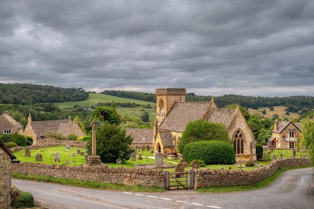
Snowshill
Village · The North Cotswolds
A tiny hill village above Broadway with Snowshill Manor, Charles Wade's house of extraordinary collections, and lavender fields that flower in midsummer.
-
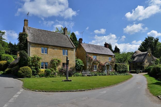
Stanton
Village · The North Cotswolds
A spring-line village on the Cotswold Way below the escarpment, restored by Sir Philip Stott from 1906, with a Grade I church and a pub at the top of the street.
-
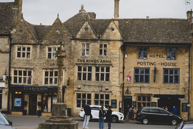
Stow-on-the-Wold
Market town · The North Cotswolds
A hilltop market town on the Fosse Way, more than 230m up, with a broad Square, a church that held 1,600 prisoners after the last battle of the Civil War, and a horse fair.
-
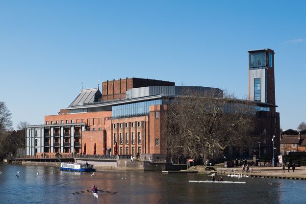
Stratford-upon-Avon
Gateway · The North Cotswolds
Shakespeare's town on the Avon, 10 miles north of the Cotswold edge: the station from Birmingham and London, the Stagecoach buses over the hills to Chipping Campden, the 50 to Shipston, and the Monarch's Way south towards the hills.
-
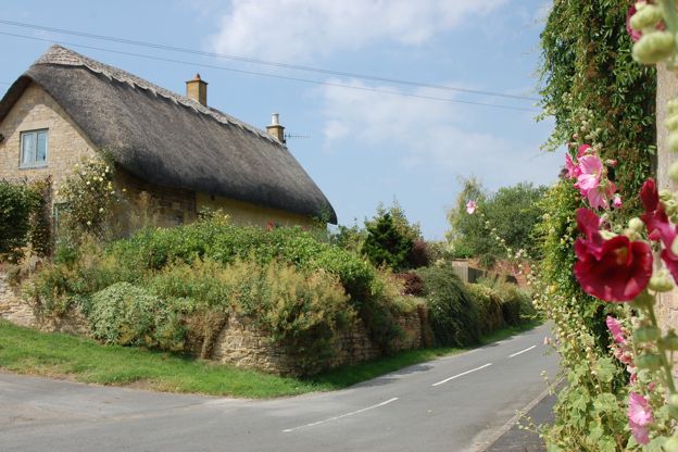
Stretton-on-Fosse
Village · The North Cotswolds
A Warwickshire village just off the Fosse Way between Moreton-in-Marsh and Shipston-on-Stour, with stone and thatched cottages on looping lanes, a church rebuilt in 1841, a seventeenth-century pub and a brewery on a farm nearby.
-
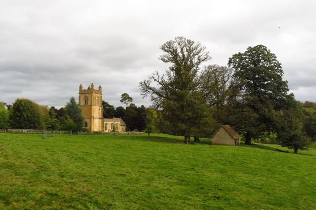
Temple Guiting
Village · The North Cotswolds
A small village in the upper Windrush valley that takes its name from the Knights Templar, with a Grade I church open in daylight, the hamlets of Kineton, Ford and Barton around it, and the Cotswold Farm Park on its edge.
-
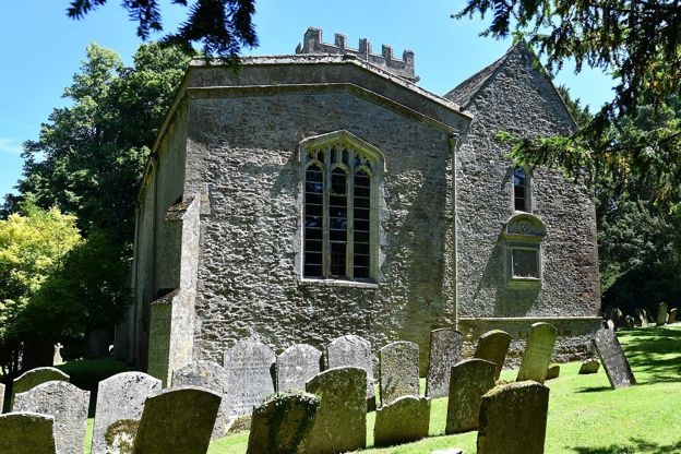
Upper and Lower Oddington
Village · The North Cotswolds
Two villages a quarter of a mile apart on the old Stow road, with a Grade I church in the woods whose Doom painting is among the largest in the country, a Daylesford pub with rooms, and the Evenlode walk to Adlestrop.
-
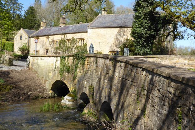
Upper and Lower Swell
Village · The North Cotswolds
Two villages on the River Dikler a mile west of Stow: Lower Swell with its Norman church, Lutyens war memorial, pineapple-topped spa and Donnington pub, and Upper Swell with a Grade I church and a mill beside the road.
-
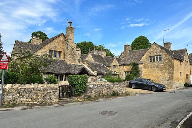
Upper Slaughter
Village · The North Cotswolds
A village of stone houses round a ford on the River Eye, about a mile above Lower Slaughter, with a twelfth-century church, a Grade I manor house and almost nothing to buy.
-
Willersey
Village · The North Cotswolds
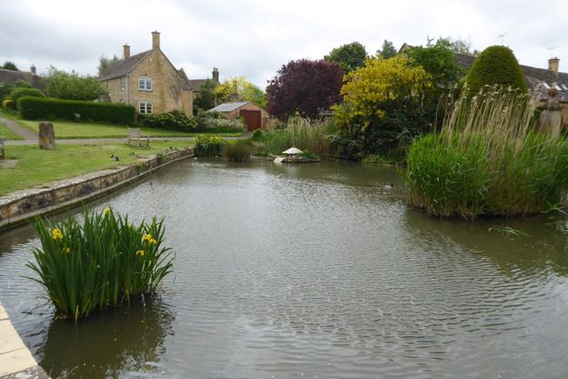
A village round a long green and a duck pond at the foot of Willersey Hill, 2 miles from Broadway, with a Grade I church, a Donnington pub and the weekday bus from Evesham. The quieter base for Broadway.
-
Worcester
Gateway · The North Cotswolds
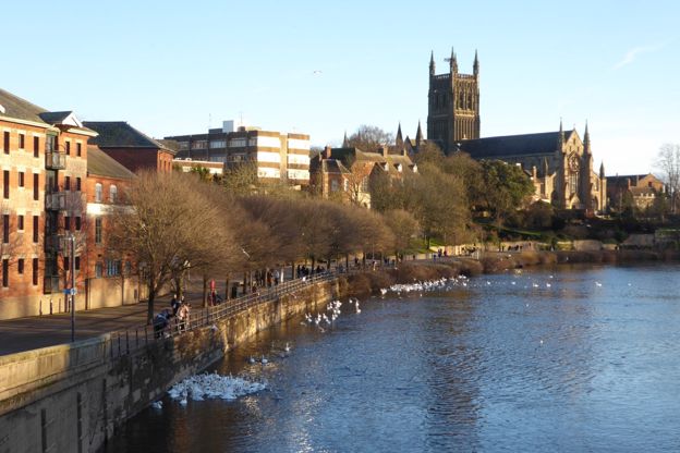
The cathedral city on the Severn on the Cotswold Line: Foregate Street and Shrub Hill stations, the trains through Evesham to Moreton-in-Marsh, King John's tomb and Elgar, the vale road to Broadway, and the Malverns every Cotswold viewpoint looks across to.
 Philip Halling, CC BY-SA 2.0, via Wikimedia Commons
The Oxfordshire Cotswolds
The Windrush and Evenlode valleys on the Oxfordshire side of the hills: Burford's High Street, Kingham on the railway, Witney's blankets and Woodstock at Blenheim's gates.
See all
-
Bampton
Village · The Oxfordshire Cotswolds
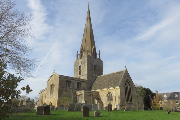
A large village on the flat land between Witney and the Thames, with a Grade I minster church under a stone spire, three morris sides that dance every spring bank holiday, and the streets that played the village of Downton in Downton Abbey.
-
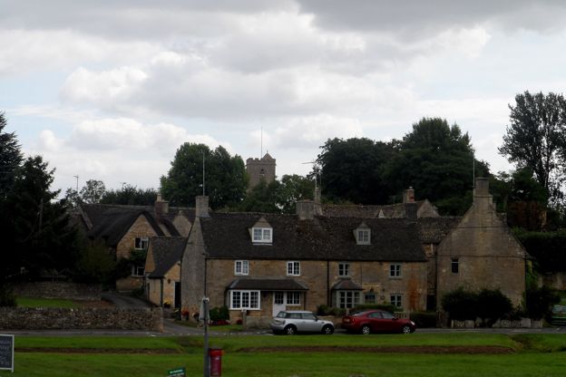
Bledington
Village · The Oxfordshire Cotswolds
A Gloucestershire village on the county boundary with a wide green, a brook running through it, a Grade I church with glass of 1470, a 16th-century inn on the green, and Kingham station a short walk away across the Evenlode.
-
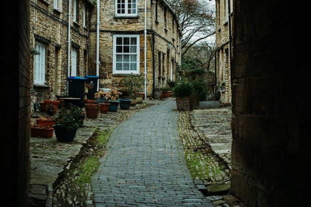
Burford
Market town · The Oxfordshire Cotswolds
A wool and coaching town whose High Street runs downhill to a medieval bridge over the Windrush, with a Grade I church where the Levellers were held in 1649.
-
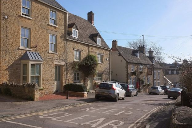
Charlbury
Market town · The Oxfordshire Cotswolds
A small stone town on the side of the Evenlode valley with a Brunel station on the line from London, a Quaker past and a gloving one, a volunteer museum by the Corner House, a free riverside festival in July, and Cornbury Park and the edge of Wychwood Forest on its doorstep.
-
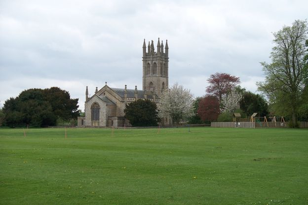
Churchill
Village · The Oxfordshire Cotswolds
A hill village 3 miles from Chipping Norton with a church tower copied from Magdalen College's, the birthplaces of Warren Hastings and the geologist William Smith, a small heritage centre in the chancel of the old church, and the Chequers.
-
Daylesford
Hamlet · The Oxfordshire Cotswolds
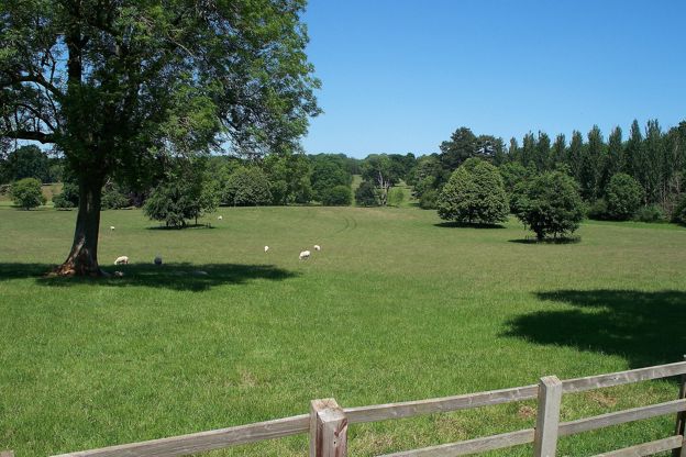
A hamlet of estate cottages 2 miles from Kingham station, known for Daylesford Organic's farm shop, restaurants and spa; Warren Hastings's house behind the park wall is private, and his grave is in the churchyard of St Peter's.
-
Filkins and Broughton Poggs
Village · The Oxfordshire Cotswolds
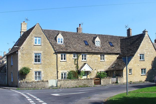
Two villages either side of the Broadwell Brook, just off the A361 between Burford and Lechlade, known for their upright stone-slab fences, a small village museum and a pub with rooms. The woollen mill closed to visitors in 2026.
-
Kelmscott
Village · The Oxfordshire Cotswolds
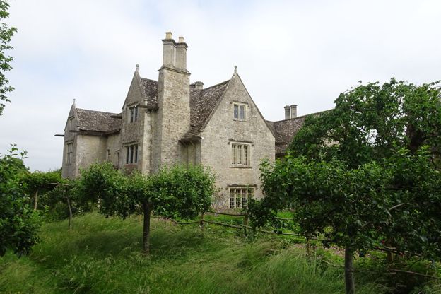
A hamlet of about a hundred people on the upper Thames, 3 miles east of Lechlade, where William Morris rented the manor from 1871 until he died and where he is buried: the manor, his grave, a 1690 pub and the Thames Path.
-
Kingham
Village · The Oxfordshire Cotswolds
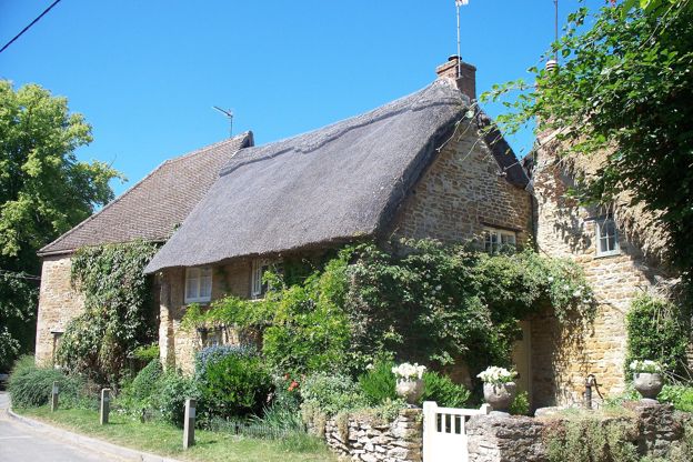
An Oxfordshire village in the Evenlode valley with a station on the line from London, two dining pubs, and Daylesford's farm shop two miles down the road.
-
Minster Lovell
Village · The Oxfordshire Cotswolds
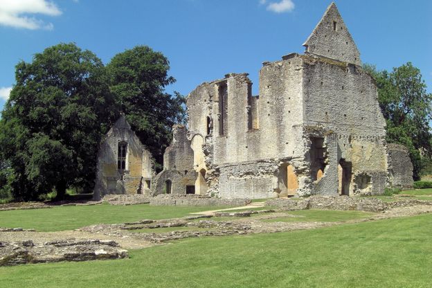
A village in three parts on the Windrush west of Witney: the old street of thatched cottages ending at a Grade I church and the free ruins of Minster Lovell Hall, a Chartist settlement on the main road above, and a river people swim in.
-
Oxford
Gateway · The Oxfordshire Cotswolds
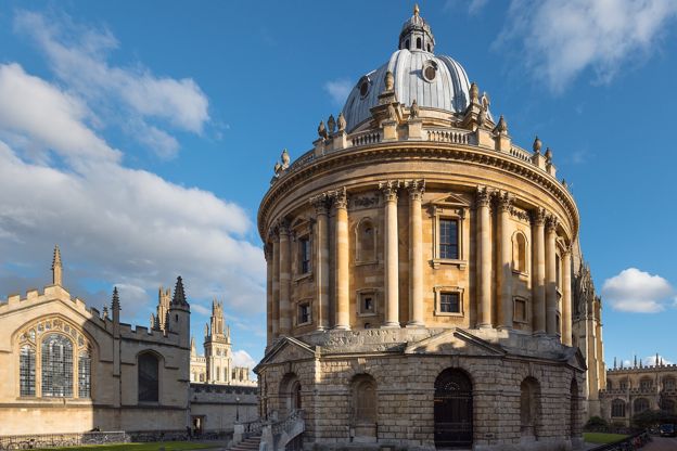
The university city at the eastern end of the Cotswold Line, where the S3 leaves the station for Woodstock and Blenheim about every hour and the X52 runs the A40 to Witney and Burford. The hills begin about 20 miles west; the colleges are the day before them.
-
Shipton, Milton and Ascott-under-Wychwood
Village · The Oxfordshire Cotswolds
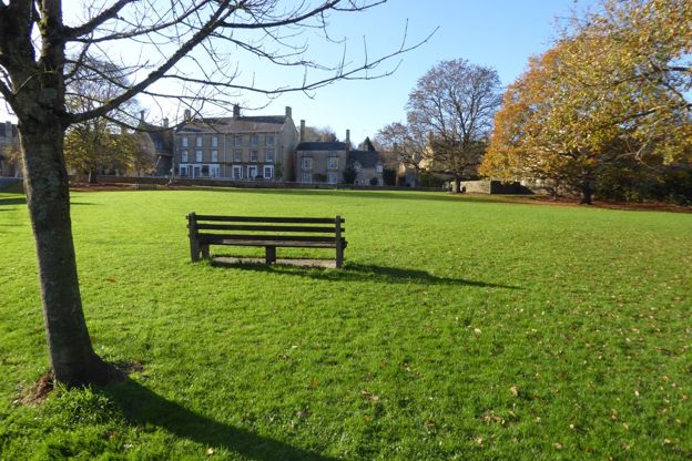
Three villages on the Evenlode named after the royal forest that once covered them: a medieval inn and a community-owned wild garden at Shipton, the Hare at Milton, and the green at Ascott where sixteen women jailed in 1873 are remembered. Two stations.
-
Swinbrook and Asthall
Village · The Oxfordshire Cotswolds
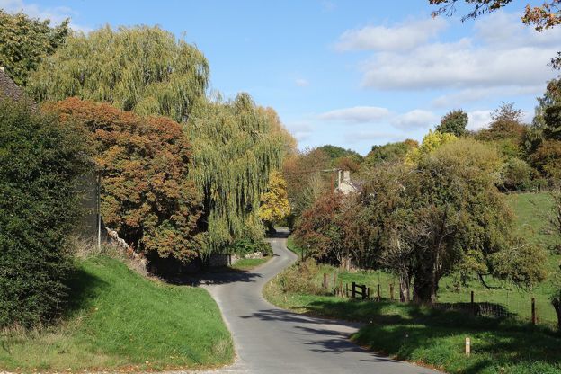
Two small villages a mile apart on the Windrush east of Burford: Swinbrook, where the Mitford sisters are buried beside the stacked Fettiplace effigies, and Asthall, where they grew up in the manor; one pub in each, a lone church at Widford and Clarkson's pub on the hill.
-
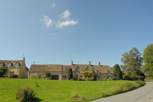
The Barringtons and Windrush
Village · The Oxfordshire Cotswolds
Three quarry villages on the Windrush just over the Gloucestershire border from Burford: Great Barrington under its park wall, Little Barrington round its green, and Windrush with a Norman doorway of beaked heads; the stone that built Oxford colleges, and the Fox by the river.
-
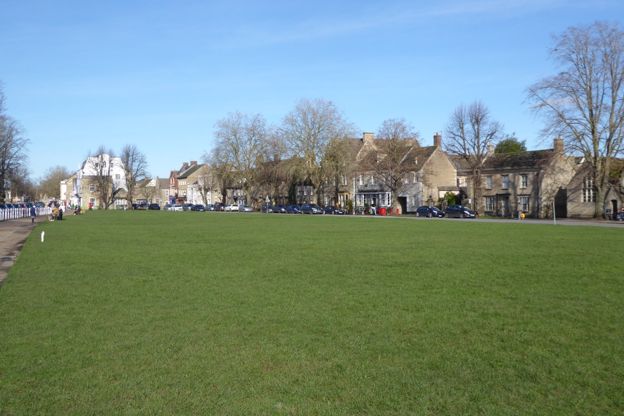
Witney
Market town · The Oxfordshire Cotswolds
The blanket town on the Windrush, just outside the National Landscape, with a Butter Cross, a long Church Green and Cogges manor farm, and free parking.
-
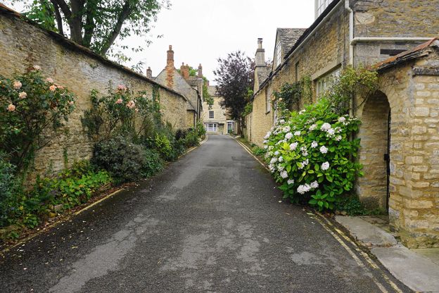
Woodstock
Market town · The Oxfordshire Cotswolds
A small town of stone houses at the gates of Blenheim Palace, Churchill's birthplace and a World Heritage Site, with a free county museum and two old sundials.
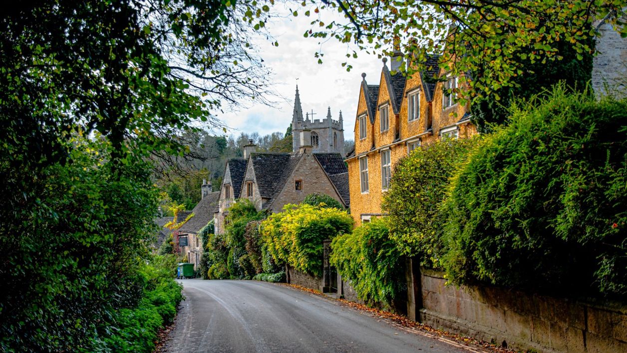 George Ciobra on Unsplash
The South Cotswolds
The southern wolds as they fall towards Bath and Wiltshire: Tetbury's Market House, Castle Combe's street by the By Brook, Malmesbury's abbey and Lacock beyond the edge.
See all
-
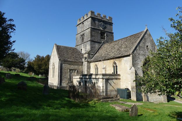
Avening
Village · The South Cotswolds
A village in a steep valley between Nailsworth and Tetbury, with a Grade I church its legend says a queen built in penance, a pig's head carried in procession every other September, and Gatcombe Park on the hill above.
-
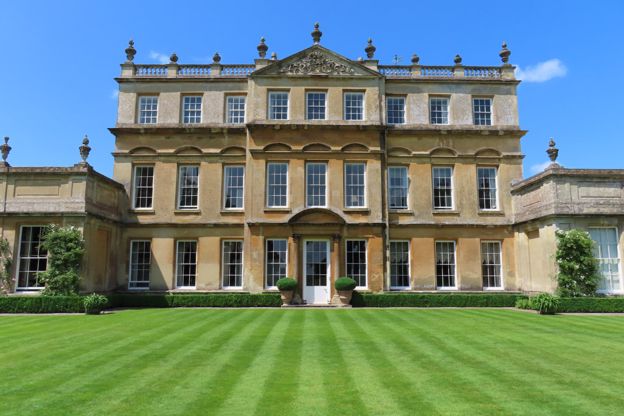
Badminton
Village · The South Cotswolds
The estate village of the Dukes of Beaufort on the southern edge of the Cotswolds: a private house you glimpse from the park, a Grade I church of ducal monuments, a three-mile avenue to a Kent lodge, three garden days a year and the horse trials each May.
-
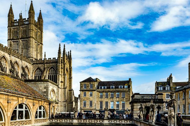
Bath
Gateway · The South Cotswolds
The city where the Cotswold Way ends, at a stone disc outside the abbey door: Bath Spa station, the park and ride on Lansdown, the buses on to Tetbury, and the trains to Chippenham for Castle Combe and Lacock.
-
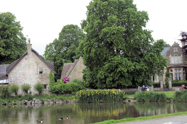
Biddestone
Village · The South Cotswolds
A Wiltshire village round a large green and a duck pond of 1661, with a Norman church, an eighteenth-century pub, a manor garden that opens for charity and far fewer visitors than Castle Combe, 3 miles away.
-
Box
Village · The South Cotswolds
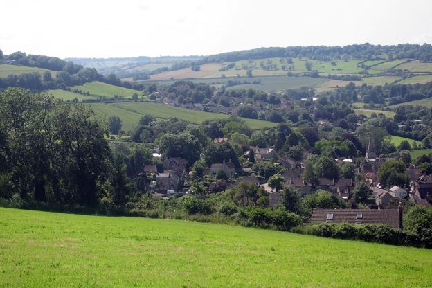
A Wiltshire stone village in the By Brook valley on the road from Bath to Chippenham, where Brunel's Box Tunnel opened in 1841, the hill above is hollow with old stone mines and the church stands on a Roman villa.
-
Castle Combe
Village · The South Cotswolds
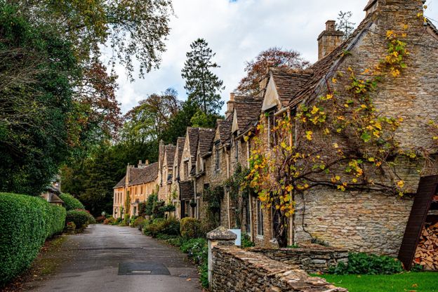
A small Wiltshire village running down a single street from a medieval market cross to a bridge over the By Brook. Park at the top, walk down, and come early.
-
Cherington
Hamlet · The South Cotswolds
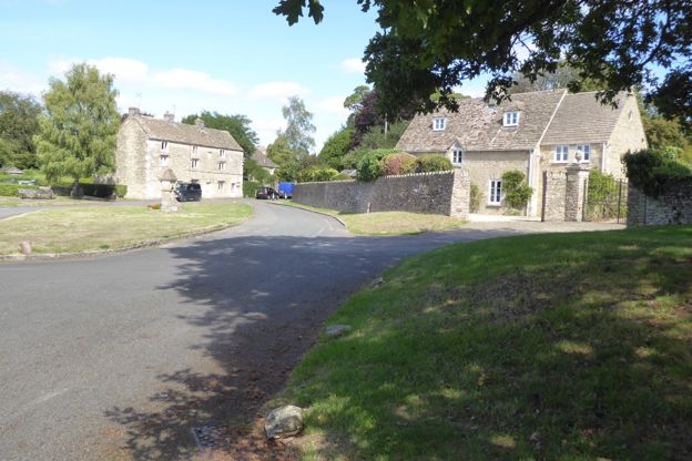
A small village on the plateau north-east of Tetbury, round a green where three roads meet, with a Grade I Norman church, a Georgian manor seen from the lane and a lake in the valley below where snowdrops fill the woods in February.
-
Chipping Sodbury
Market town · The South Cotswolds
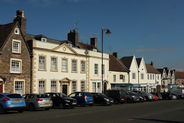
A planned medieval market town below the southern Cotswold edge, with a long, wide market street, a Grade I church and a mop fair twice a year, near Bristol.
-
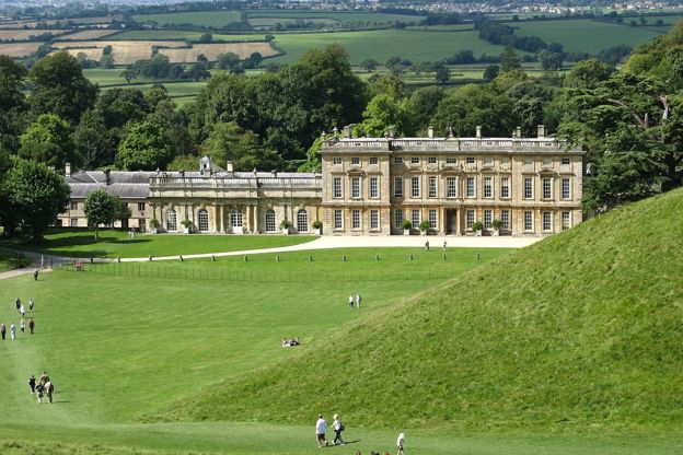
Dyrham
Hamlet · The South Cotswolds
A hamlet under the Cotswold edge north of Bath, at the gates of Dyrham Park, with a Grade I church beside the house, the Cotswold Way through its lane and the battle of 577 somewhere in the fields.
-
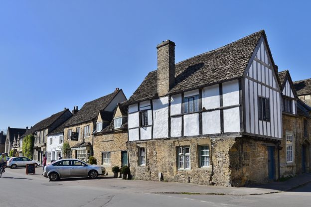
Lacock
Village · The South Cotswolds
A Wiltshire village mostly owned by the National Trust, with an abbey made from a medieval nunnery, where Fox Talbot made the earliest surviving negative in 1835.
-
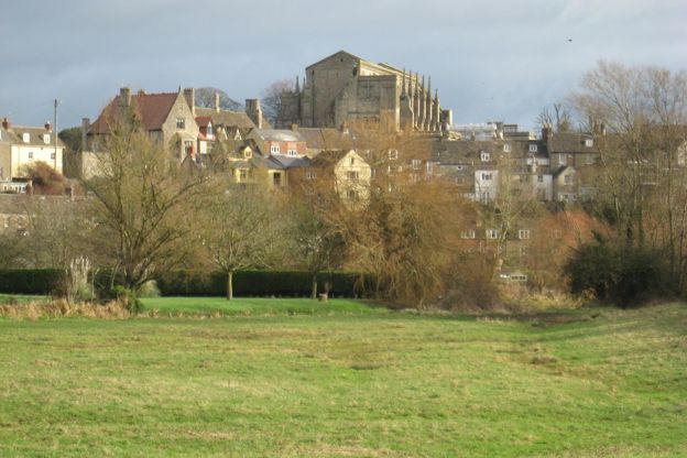
Malmesbury
Market town · The South Cotswolds
A hilltop town almost ringed by the Avon, with the great Norman nave of its abbey, King Athelstan's empty tomb, a flying monk and a market cross built for shelter.
-
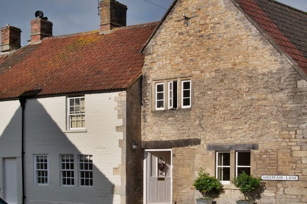
Marshfield
Village · The South Cotswolds
A former malting town at the Cotswolds' southern tip, 9 miles from Bath, one long street of seventeenth- and eighteenth-century fronts, with a Grade I church, almshouses of 1612, a coaching inn of 1680 and the Paper Boys' mummers' play on Boxing Day. Dyrham Park is 6 miles off.
-
Sherston
Village · The South Cotswolds
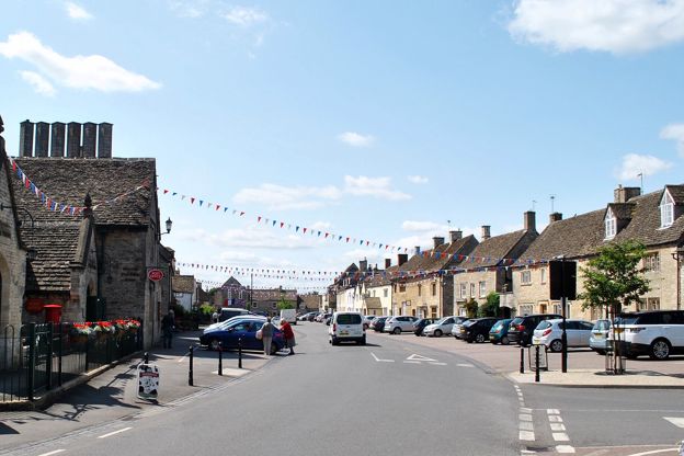
A former borough on a spur above the Sherston branch of the Avon, about 5½ miles west of Malmesbury, with a High Street wide enough to have held a market, a Grade I church, the Rattlebone Inn and its legend, and a boules festival on the street each July.
-
Tetbury
Market town · The South Cotswolds
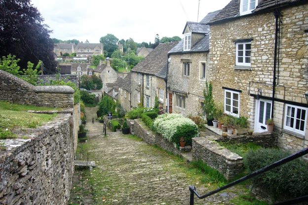
A wool market town with a Market House on stone pillars, a Georgian Gothic church, Highgrove's gardens nearby and Westonbirt Arboretum 3 miles away.